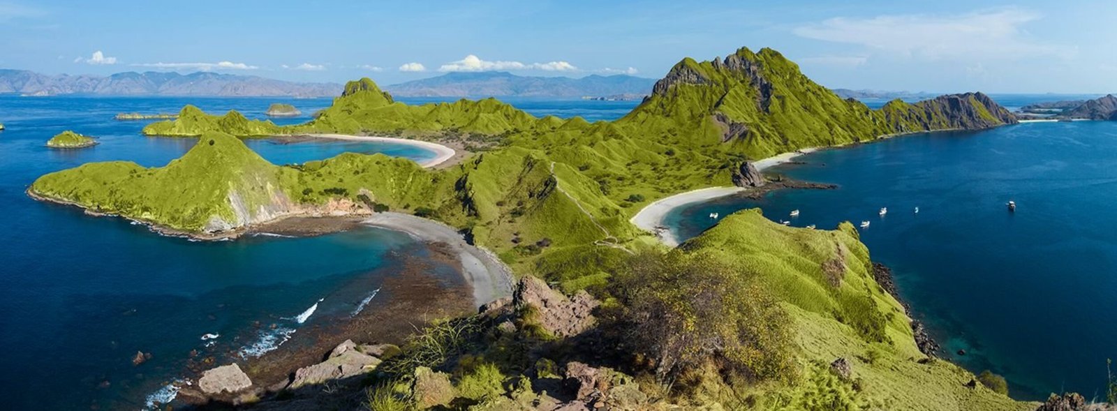
Although much of Arizona comprises arid landscapes, this Southwest state is also home to phenomenal waterfalls. Getting to some of these cascades can involve lengthy desert hikes in remote areas, while others aren’t too far from urban centers. A few of the most impressive pristine falls are found in the Grand Canyon, one of the best places to visit in Arizona; you should plan to camp at the bottom of the canyon overnight to see them.
If you are vacationing in Arizona and have your heart set on seeing some of the state’s most amazing waterfalls, you may want to schedule your visit for the early spring, when snowmelt from the mountains causes the rivers and creeks feeding the falls to run high. In the heat of the summer months, bodies of water may instead run dry – at least until a steady bout of rain. In whatever season you’re planning to go hiking, be sure to carry plenty of water, wear sturdy hiking shoes, and keep an eye out for creatures on the trail spanning scorpions to rattlesnakes to Gila monsters. Here are 16 of the most amazing Arizona waterfalls worth the hike.
Note: Waterfalls and trails may be subject to closures because of weather conditions. Check with your intended destination before you visit.
(Note: Some of the following activities, attractions and locations may be affected by the COVID-19 pandemic. New policies may be in place, including capacity restrictions, reservation requirements or mask mandates. Check with the Centers for Disease Control and Prevention, the U.S. Department of State and local tourism boards before traveling.)
Havasu Falls

(Getty Images)
Earning its place on the bucket list of many who travel to Arizona, the gorgeous Havasu Falls is located on the Havasupai Indian Reservation inside the Grand Canyon (but is not part of Grand Canyon National Park). In order to hike to this waterfall, you’ll need to secure a permit from the Havasupai Tribe and make reservations at the campground or the Havasupai Lodge in Supai Village. Permits – which can be challenging to obtain – typically go on sale on Feb. 1 for the forthcoming travel season, which runs through November. The trail is subject to closures from June to August because of flooding and extreme heat.
The downhill trek from the canyon rim at Hualapai Hilltop to Supai Village, where the lodge is located, is 8 miles; the campground and Havasu Falls are another 2 miles. Once you’re settled at your camp, you can also daytrip to several other beautiful waterfalls in the area, such as Beaver Falls. Keep in mind that at the bottom of the canyon summer temperatures regularly exceed 100 degrees and the hike can be strenuous; it’s thus critical that you pack plenty of water (none is available on the trail) and wear proper clothing and sunscreen. And remember: The return trip is all uphill. If you do commit to this hike, you’ll be rewarded with the chance to swim in a bright blue-green pool of refreshing water at the base of mesmerizing Havasu Falls.
Note: The Havasupai Reservation is closed to tourists for the 2022 season due to the coronavirus pandemic. Tourism is expected to resume in 2023, but no new reservations were being taken at the time of publication.
Cibecue Falls
The 3-mile, out-and-back Cibecue Creek Trail to Cibecue Falls sits in east-central Arizona. Its trailhead on the Fort Apache Reservation – home to the White Mountain Apache Tribe – is about 45 miles north of the town of Globe and 35 miles south of the town of Cibecue. To hike this moderately difficult trail you’ll need a Cibecue Falls Access Permit, which is available for purchase at nearby gas stations and convenience stores. The permit does not, however, allow you to camp, fish or swim at Cibecue Falls. Swimming is prohibited throughout the reservation, so be sure to stay out of the water even if it looks tempting. Cell service is minimal here; you may want to download a map of the area before you start your trek.
Grand Falls

(Getty Images)
Also known as Chocolate Falls because of its muddy color, Grand Falls is situated about 40 miles northeast of Flagstaff, Arizona, on Navajo Nation land. The wide Grand Falls, which consists of multiple tiers and stands more than 180 feet tall, is best viewed in March and April, thanks to the annual snowmelt from Arizona’s White Mountains. There’s also a short monsoon season in the summer when the waterfall flows extra fiercely, but weather conditions vary every year. At other times, the cascade may slow to a trickle. Check the U.S. Geological Survey website for information on the Little Colorado River’s water levels in nearby Winslow the day before and the day of your visit; you’ll generally want a streamflow above 200 cubic feet, according to the Navajo Tourism Department.
The unpaved backroads to reach this remote spot can be quite bumpy: A four-wheel-drive vehicle is recommended but not required, and either way you should make sure to have a full tank of gas. From the viewing point, it’s a half-mile, one-way hike down to the base of the falls. If you go down to the water, consider wearing old shoes, prepare to get muddy and beware any loose rock.
Seven Falls
You’ll find the Seven Falls Trail – which fittingly takes you past seven waterfalls – in the Sabino Canyon Recreation Area, located within the Coronado National Forest, about 15 miles northeast of downtown Tucson. To reach these natural falls and pools, park near the visitor center and pay a day use fee, then follow signs to Bear Canyon Trail (No. 29). From the parking lot, the 8.6-mile out-and-back trail to Seven Falls begins on pavement and then follows the canyon floor, involving multiple creek crossings (which can be tricky at rare times of high water). You can cut some distance off your trek if you take one of the 30-minute Bear Canyon electric shuttles from the visitor center to the trailhead of Seven Falls for a fee.
Seven Falls may be best enjoyed in late winter or early spring, when the cascades are flowing heavily due to snowmelt. That said, take note of U.S. Forest Service notices regarding trail closures because of flooding after heavy rains or other conditions. Especially in the summer months, when temperatures soar, be sure to pack plenty of drinking water. Visitors like to cool off in the pools of water below the falls, but space for swimming may be at a premium in the summer, with the cascades slowing to a trickle.
Fossil Creek Falls

(Getty Images)
The Fossil Creek Recreation Area in the Coconino National Forest is about 85 miles south of Flagstaff. The mile-long Waterfall Trail hike follows blue-green Fossil Creek, known for its travertine deposits, to a natural waterfall. If you visit Fossil Creek Falls during the summer season from April 1 to Oct. 1, you need to make a reservation for an entry permit and parking pass, the latter of which must be printed out and displayed on your car’s dashboard; outside of those dates, reservations are not needed. The dirt road to reach the Fossil Creek Recreation Area via the town of Camp Verde is bumpy; a four-wheel-drive vehicle is recommended, since the drive is so rough. Note that there is no access to the creek or waterfall from Strawberry, Arizona. In addition, the U.S. Forest Service warns that swimming or cliff diving near the falls is extremely dangerous.
Note: The Fossil Creek Recreation Area was closed at the time of publication due to the damage caused by a 2021 wildfire. The closure remains in effect until Dec. 31, 2022, or until the U.S. Forest Service order is rescinded.
Pacheta Falls
Pacheta Falls is situated in a remote area on the Fort Apache Reservation. You’ll traverse lengthy and bumpy backcountry roads to reach the falls, and route-finding skills are recommended. One approach is the approximately 60-mile drive from the small town of McNary along state Route 260 and state Route 273, past Reservation Lake Campgrounds and Pacheta Lake Campground. Alternatively, it’s about 45 miles along county roads from the town of Whiteriver. Each visitor must obtain a Pacheta Falls Access Permits for entry to the area around Pacheta Falls; you can pick up a permit from certain vendors on the reservation. While you can access the falls directly using old logging roads if you happen to have a high-clearance, four-wheel-drive vehicle, another option is to hike from the junction of County Road 8 and Pacheta Creek. From there it’s about 1.25 miles along a faint creek trail with water crossings to a picturesque and pristine waterfall that reaches about 130 feet in height. Keep in mind that swimming is not permitted at Pacheta Falls or in any waters on White Mountain Apache Tribe land.
Mooney Falls

(Getty Images)
If you’re planning a backpacking adventure to Havasu Falls in the Grand Canyon, Mooney Falls should also be on your must-see list. Like Havasu Falls, Mooney Falls is located on the Havasupai Reservation, so you’ll need a camping reservation and permit to access the area. From the northwest end of Havasupai Campground, it’s a relatively easy 1-mile hike to reach the top of Mooney Falls. The real challenge comes if you choose to climb to the base of the waterfall: You’ll need to make your way down a cliffside passageway involving chains and ladders. While you can admire the 200-foot cascade of water just fine from the top of the trail, if you’re a confident hiker who’s not afraid of heights, it’s surely worth the short, steep hike to see this amazing waterfall from the blue-green pool at its base. Go early in the day to miss the “rush hour” and avoid having to wait for other travelers to descend.
Note: The Havasupai Reservation is closed to tourists for the 2022 season due to the coronavirus pandemic. Tourism is expected to resume in 2023, but no new reservations were being taken at the time of publication.
Navajo Falls
Navajo Falls is yet another scenic cascade located just upstream from Havasu Falls in the Grand Canyon. If you’re already planning to make the descent to the Havasupai Reservation on a backpacking trip, make sure you take time to visit beautiful Navajo Falls as well, as long as you have secured a camping reservation and permit. From the Havasupai Campground, it’s a little more than a half-mile hike south to reach Navajo Falls, or you can take the little side trip on your way to the campground. There are actually two sets of waterfalls: Upper Navajo Falls, which is partly hidden from the main trail, and Lower Navajo Falls, which is more easily accessible. If Havasu Falls is packed with people cooling off in the turquoise pool at its base, Navajo Falls is a great alternative way to feel refreshed after the long hike from Hualapai Hilltop into the canyon.
Note: The Havasupai Reservation is closed to tourists for the 2022 season due to the coronavirus pandemic. Tourism is expected to resume in 2023, but no new reservations were being taken at the time of publication.
Bridal Wreath Falls
The hike to Bridal Wreath Falls is a 5.7-mile out-and-back trail. The trailhead is about 20 miles east of downtown Tucson in the Rincon Mountain District of Saguaro National Park. The 25-foot falls are a seasonal attraction, especially fierce in the early spring with snowmelt or after some rainfall (such as post-monsoon in the summer); the cascade may be minimal at other times, so plan accordingly. Recent visitors report sightings of venomous lizards called Gila monsters on the trail, and this desert landscape is also the home of rattlesnakes. Keep your eyes on the path in front of you to avoid disturbing any wildlife. Don’t forget to pack in plenty of water as well; there’s little shade on the trail.
Romero Pools
Romero Pools can be accessed via the Romero Canyon Trail in Catalina State Park, about 15 miles north of downtown Tucson. There is a fee to enter the state park, which is a popular recreational area at the base of the Santa Catalina Mountains. The out-and-back hike to the Romero Pools is about 5.5 miles total. The first mile or so is a relatively flat walk to Montrose Pools, before the trail becomes steep and rocky for another 1.7 miles as you approach the Romero Pools, formed by a canyon stream that flows seasonally. You may not see water filling the pools if you hike the trail in the hottest months. Past hikers recommend hiking past the first pools, since a second set, a bit hidden from the main trail, may also include a short waterfall, especially if you’re hiking after a rainstorm or in the spring.
Tanque Verde Falls

(Getty Images)
The 2-mile hike to Tanque Verde Falls is a moderately challenging out-and-back trail about 20 miles east of Tucson. Found on the edge of the Sonoran Desert, the falls may not be running if you embark on this hike in the mid-summer months or when conditions are too try; the best time to see the cascades running is springtime when the gushing water reaches 80 feet in height. There are also smaller falls and swimming holes along the trail. To reach the trailhead, motor east from Tucson on Tanque Verde Road until it turns into Redington Road, which becomes a dirt road. You’ll find a parking area on your left.
Water Wheel Falls
Water Wheel Falls is a popular swimming hole in the summer months near Payson, Arizona, which is about 100 miles south of Flagstaff and 100 miles northeast of Phoenix. Reach the falls in the Tonto National Forest via a 1.6-mile out-and-back riverside trail. Recent hikers note there are lots of boulders to navigate that can be slippery near the water. Another tip: If the parking lot at the Water Wheel Falls trailhead is full, you can backtrack to park at the First Crossing lot down Forest Road 199, which will add about a mile to your walk. Visitors in the months of April through October have to pay an entry fee to access the Tonto National Forest.
Ellison Creek Cascades
If you’re in the vicinity of Payson, Arizona – perhaps checking out Water Wheel Falls – also consider making the short trek to Ellison Creek Cascades. The trailhead for the 1.5-mile out-and-back trail can be found at the Second Crossing parking lot on Forest Road 199. The short hike itself is mostly along a gravel road until the trail veers off just before the small falls and a rocky “play area.” Note that the hike to the cascades is a descent, so you’ll need to walk back up to get to the parking area.
Sycamore Falls
The trailhead for Sycamore Falls is about 15 miles southeast of Williams and 60 miles northwest of Sedona in north-central Arizona. The hike to see the falls is along an easy half-mile loop trail in the Kaibab National Forest. You’ll traipse along the Sycamore Canyon rim, which is a popular spot for rock climbing. From the rim, you can see Sycamore Falls cascading into a giant pool of water. Note the falls may be dry in the summer months. From the Sycamore Falls Trailhead, you can access the Sycamore Rim Trail, an 11-mile loop, if you’re looking for a longer hike.
Massacre Falls
These morbidly named falls are found in Arizona’s Superstition Mountains about 40 miles east of downtown Phoenix. To reach the impressive seasonal waterfall, you’ll take a moderately challenging 5.5-mile out-and-back trail with blooming wildflowers in the late winter and spring. Also keep an eye out for patches of teddy-bear cholla cactus and prickly pear cactus as you traverse the Massacre Grounds Trail. Note that the falls may only be active in the winter months unless you visit after heavy rain.
Slide Rock

(Getty Images)
The cascade of water cut into the sandstone at Slide Rock State Park isn’t technically a waterfall, but this unusual natural attraction is worth a spot on this list simply for the hours of fun it can provide for visitors to nearby Sedona (about 7 miles south). Slide Rock is an 80-foot-long chute ranging from 2.5 to 4 feet wide, and adventure enthusiasts can slide down it. This natural waterslide, especially slippery due to the layer of algae on the red rock, sits at the bottom of Oak Creek Canyon. Swimming and wading are permitted in the half-mile section of the creek surrounding the slide. Reach Slide Rock along a moderate 0.3-mile walk that starts near the state park’s historic apple-packing barn – apples have grown in orchards on this property for more than a century – and follows Oak Creek. The Slide Rock Route crosses the creek over a small footbridge, which may not be accessible during times of high runoff.